Mount Aragats is the highest point on the territory of modern Armenia (the height of the highest, northern peak is 4090 m). The mountain is an ancient extinct volcano. Aragats has four peaks. The nature of the slopes of Aragats is very rich. Apparently, the slopes of the mountain have been inhabited since ancient times. Here you can see the remains of ancient shelters and abandoned ancient settlements. Aragats is a favorite destination both for tourists and fans of extreme sports and mountaineering.
The well-established transport infrastructure of Armenia allows to get to Aragats by a private car or with the help of various travel companies which offer regular excursions and tours to different sights of the country. Due to the geographical location of Aragats the trip will not seem long.
The high season in Armenia lasts for a long time due to the pleasant climate conditions. Warm days in Armenia start in March and last until late autumn; winter is usually snowless and not long. The high precipitation season is variable. The tourist season for Aragats depends on the weather conditions.
Aragats has a large crater with a depth of 400 m and a diameter of 3 km. The crater is open from the south-eastern side and is connected to the surrounding area by rivers.
Numerous engravings have been around the volcano, including rock paintings portraying animals and human-like figures in Kasagh River valley possibly of early Holocene age, and in Aghavnatun on the southern side of the volcano including petroglyps showing animals that were possibly created in the 4th to 1st millennia BCE.
LAKE KARI (ARAGATS MOUNTAIN)
7 km

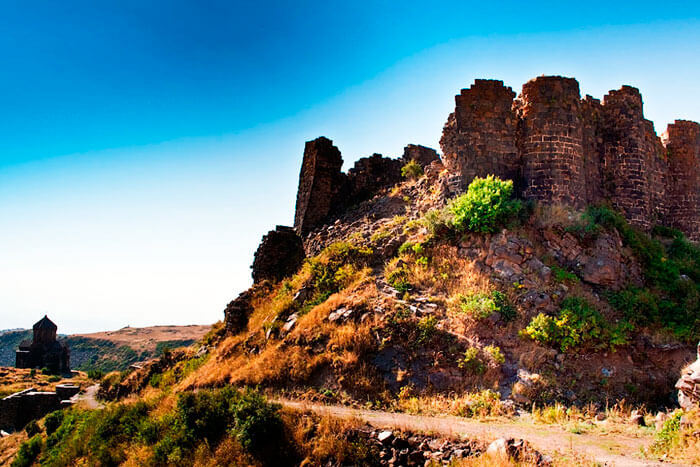
AMBERD FORTRESS
35 km

SAGHMOSAVANK MONASTERY
51 km
