Vorotnaberd Fortress


Region
Syunik
Distance from Yerevan
297.9 km
Type
Monastery/Church
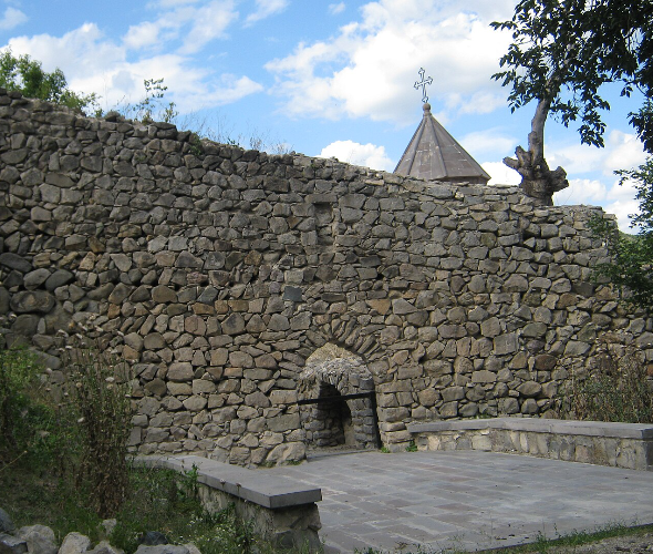
Vorotnaberd Fortress has been mentioned as early as the 4th century as one of the most notable and inaccessible military strongholds in Armenia. In local folklore, it is often associated with the 18th-century national liberation leader Davit Bek, which is why it is sometimes also referred to as “Davit Bek’s Fortress.” According to historical sources, the earliest written references to the fortress date back to the 5th century. Stepanos Orbelian notes that between 1075 and 1092, Vorotnaberd and its surrounding lands were part of the Kingdom of Syunik. After being under Seljuk control for around 115 years, the fortress was liberated in 1210 by Armenian-Georgian forces led by the Zakarian brothers. It later came under the jurisdiction of Ivane Zakarian, and from the mid-13th century, it became the property of the Orbelyan princes. Vorotnaberd reappears in historical records in March 1724, when Davit Bek, leader of the Syunik liberation movement, captured the fortress and made it a key defensive base for his resistance efforts. The structure of the fortress itself is telling: built from roughly hewn basalt stones, it had double-layered defensive walls composed of outer and inner ramparts. The citadel included an underground passage that directly connected the fortress to the Vorotan River, allowing for water supply and a secret escape route during sieges. By the 19th century, the fortress was already recorded as completely abandoned and no longer in use as a military structure.

Interesting
facts about Vorotnaberd Fortress


Facts
Weather in Syunik
The high season in Armenia lasts for a long time due to the pleasant climate conditions. Warm days in Armenia start in March and last until late autumn; winter is usually snowless and not long. The high precipitation season is variable. The tourist season for Vorotnaberd Fortress depends on the weather conditions.
Sights
near Vorotnaberd Fortress

Yeritsavank Monastery
0 km

Aghitu Memorial Pillar
0 km

Devil’s Bridge
5 km
Halidzor Fortress
13 km