Devil’s Bridge


Region
Syunik
Distance from Yerevan
302.7 km
Type
Bridge
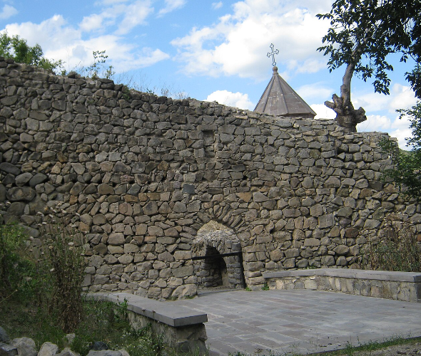
At the foot of Tatev Monastery, in a gorge about 500 meters deep carved by the Vorotan River, lies Devil’s Bridge, a natural stone formation. It was formed over thousands of years due to the constant physical and chemical influence of water and wind on lava masses. The bridge is about 30 meters long and around 60 meters wide. The area attracts tourists not only with its unusual appearance, but also with its hot springs, known for their healing properties. Several caves are also visible in the area, located below the springs, and can be seen by descending toward the river. These caves are partially explored and still maintain their mysterious character today.

Interesting
facts about Devil’s Bridge


Facts
Weather in Syunik
The high season in Armenia lasts for a long time due to the pleasant climate conditions. Warm days in Armenia start in March and last until late autumn; winter is usually snowless and not long. The high precipitation season is variable. The tourist season for Devil's Bridge depends on the weather conditions.
Sights
near Devil’s Bridge

Yeritsavank Monastery
5 km

Vorotnaberd Fortress
5 km

Aghitu Memorial Pillar
5 km
Halidzor Fortress
8 km