Mount Aragats


Region
Aragatsotn
Distance from Yerevan
43.3 km
Type
Mountain
Mount Aragats is the highest peak in the Republic of Armenia. The volcanic massif spans approximately 820 square kilometers and is a dormant volcano, whose past eruptions shaped its four main summits: Northern summit – 4,090 meters (the highest point in Armenia), Western summit – 4,001 meters, Eastern summit – 3,916 meters, Southern summit – 3,879 meters. In addition to the primary peaks, Aragats includes over 20 secondary peaks rising above 3,000 meters, such as Karakatar, Karapar, Kakavasar, Nigasar, and Tezharuyk. The mountain also features glacial lakes and waterfalls, which enrich its natural scenery. The mountain’s surface is of volcanic origin, making its slopes rocky and rich in volcanic minerals and useful natural resources. Several lakes have formed around Aragats due to melting snow, the largest being Lake Kari, which is 1,150 meters in diameter and lies at an elevation of 3,200 meters. All four summits of Aragats are accessible to climbers, with various hiking routes available, ranging in difficulty.

Interesting
facts about Mount Aragats


Facts
Weather in Aragatsotn
The high season in Armenia lasts for a long time due to the pleasant climate conditions. Warm days in Armenia start in March and last until late autumn; winter is usually snowless and not long. The high precipitation season is variable. The tourist season for Aragats depends on the weather conditions.
Sights
near Mount Aragats

Armenian Alphabet Monument
10 km

Saghmosavank Monastery
14 km
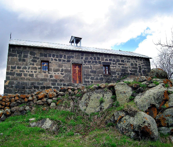
Church of St. Khach
15 km

Hovhannavank Monastic Complex
19 km